File:Vietnam Map.jpg
Jump to navigation
Jump to search

Size of this preview: 713 × 600 pixels. Other resolution: 1,590 × 1,337 pixels.
Original file (1,590 × 1,337 pixels, file size: 1.28 MB, MIME type: image/jpeg)
Summary
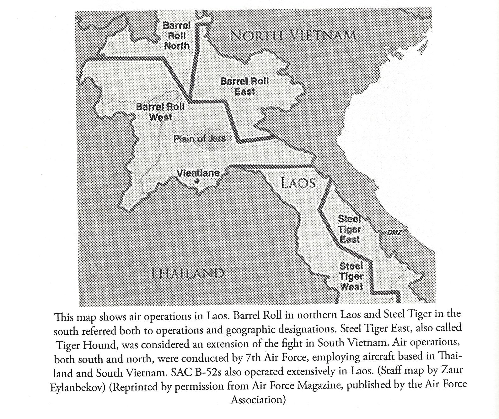
This map depicts the different operational areas the A-26As used.
File history
Click on a date/time to view the file as it appeared at that time.
| Date/Time | Thumbnail | Dimensions | User | Comment | |
|---|---|---|---|---|---|
| current | 03:01, 9 February 2021 | | 1,590 × 1,337 (1.28 MB) | WikiSysop (talk | contribs) | This map depicts the different operational areas the A-26As used. Category:B-26K |
You cannot overwrite this file.
File usage
The following page uses this file: