File:Khe Sanh.JPG
Jump to navigation
Jump to search


Size of this preview: 800 × 391 pixels. Other resolution: 1,121 × 548 pixels.
Original file (1,121 × 548 pixels, file size: 133 KB, MIME type: image/jpeg)
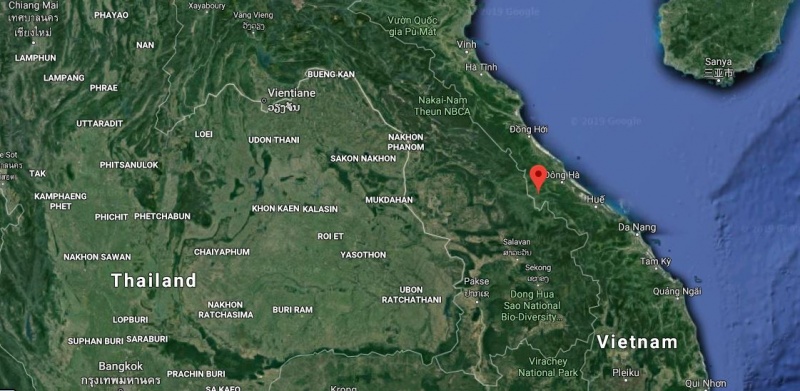
A Google Satellite map showing the location of Khe Sanh (red pin) in context with Nakhon Phanom Air Base (center of map).
File history
Click on a date/time to view the file as it appeared at that time.
| Date/Time | Thumbnail | Dimensions | User | Comment | |
|---|---|---|---|---|---|
| current | 06:23, 2 November 2019 | | 1,121 × 548 (133 KB) | WikiSysop (talk | contribs) | A Google Satellite map showing the location of Khe Sanh (red pin) in context with Nakhon Phanom Air Base (center of map). |
You cannot overwrite this file.
File usage
The following page uses this file: