File:Khe Sanh.JPG: Difference between revisions
Jump to navigation
Jump to search
(A Google Satellite map showing the location of Khe Sanh (red pin) in context with Nakhon Phanom Air Base (center of map).) |
(No difference)
|
Latest revision as of 06:23, 2 November 2019
A Google Satellite map showing the location of Khe Sanh (red pin) in context with Nakhon Phanom Air Base (center of map).
File history
Click on a date/time to view the file as it appeared at that time.
| Date/Time | Thumbnail | Dimensions | User | Comment | |
|---|---|---|---|---|---|
| current | 06:23, 2 November 2019 | 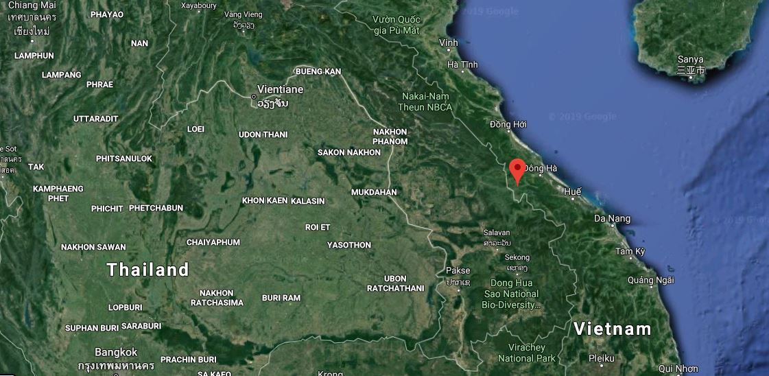 | 1,121 × 548 (133 KB) | WikiSysop (talk | contribs) | A Google Satellite map showing the location of Khe Sanh (red pin) in context with Nakhon Phanom Air Base (center of map). |
You cannot overwrite this file.
File usage
The following page uses this file: